The Des Moines County GIS Commission was created from a 28 E agreement between Des Moines County IA, The City of Burlington IA and The City of West Burlington IA July 2001 from the desire of each entity to implement and maintain a Geographic Information System within Des Moines County IA, to be shared and supported by those entities.
What is GIS?Applications
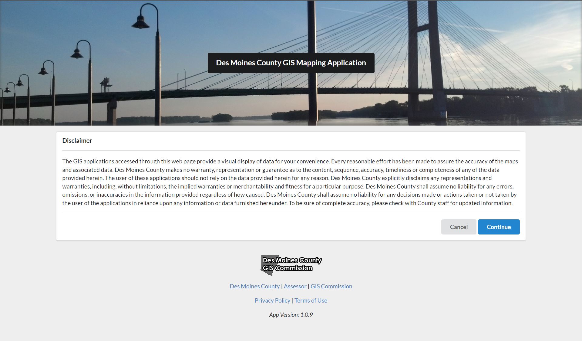
GIS Mapping Application
The Des Moines County GIS Mapping Application is a public website intended for users to query and identify parcels to obtain information. It includes a variety of historic basemaps and identifiable layers within Des Moines County, Burlington, and West Burlington Iowa. It also contains a variety of tools to draw graphics, measure, and export PDFs of any area within Des Moines County.
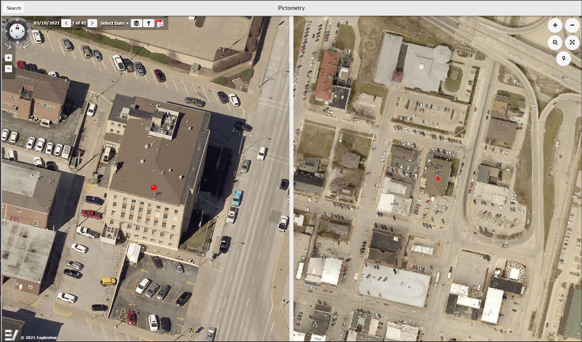
Pictometry
The Pictometry Application highlights Des Moines County from a different perspective. It includes oblique aerial imagery for the entirety of Des Moines County from the North, East, South, and West directions. It includes historic flights from 2012 and 2009 as well as an emergency flight during the flood of 2008. It can be accessed directly or can be accessed from every Des Moines County Application by selecting a specific location on the map.
GIS Links
Des Moines County GIS Department
513 N. Main St.
Burlington, IA 52601
Phone: (319) 753-8759